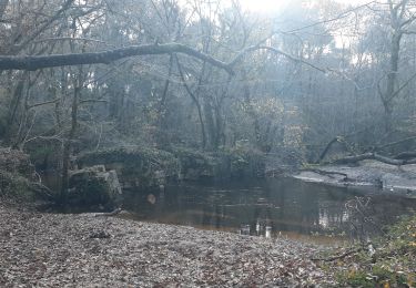
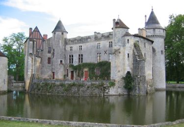
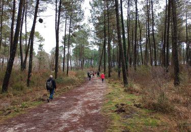
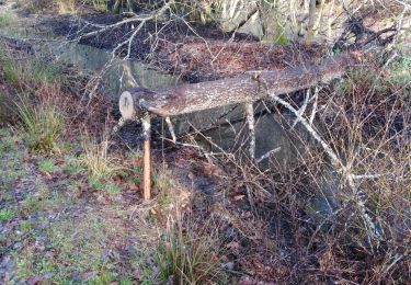
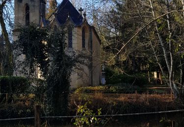
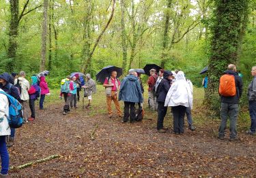
Trail Walking La Brède - Circuit vert de La Brède - Photo

Circuit vert de La Brède

 tracegps
tracegps

User

© OpenStreetMap contributors
Length
Length
11.9 km
Max alt
Max alt
63 m
Uphill gradient
Uphill gradient
105 m
Km-Effort
Km-Effort  
13.3 km
Min alt
Min alt
15 m
Downhill gradient
Downhill gradient
106 m
Boucle
Boucle
Yes
Creation date :
2014-12-10 00:00:00.0
Updated on :
2014-12-10 00:00:00.0

(1 Reviews)

Walking
Walking
3h00
Difficulty : Difficult

Scan this QR Code to open this trail in the SityTrail application

FREE GPS app for hiking

Logo SityTrail SityTrail

IGN / Geographical institutes

Download SityTrail from the App Store Download SityTrail from Google Play

Logo SityTrail SityTrail World

The world is yours!

Download SityTrail from the App Store Download SityTrail from Google Play Download SityTrail on Huawei AppGallery

About

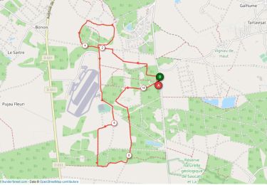
Trail Walking of 11.9 km to be discovered at New Aquitaine, Gironde, La Brède. This trail is proposed by tracegps.

Description

Circuit proposé par le Savoirs et Images en Graves Montesquieu. Départ de la place de l'Hôtel de Ville, devant l'église St Jean d'Etampes. Ce circuit contourne le château mais on ne pénètre pas dans son parc. Retrouvez la fiche descriptive du circuit sur le site de «Savoir et images en Graves Montesquieu».

Elevation profile

Photos

Positioning

Country:
France
Region :
New Aquitaine
Department/Province :
Gironde
Municipality :
La Brède
Location:
Unknown
Start:(UTM)
695947 ; 4950545 (30T) N.

Comments

Please log in to post a review or rate the element


Une mise à jour s'impose. J'ai été obligé de traverser une carrière et des accès privés.


Trails nearby

Trail Cycle La Brède - Balade sur les pas de Montesquieu dans la baronnie de La Brède - Photo
Cycle
tracegps

Cycle

Medium
(1)
La Brède, New Aquitaine, Gironde, France
44 km | 50 km-effort
2h 30min
Yes
Trail Walking Ayguemorte-les-Graves - Sentier d'Ayguemorte les Graves - Photo
Walking
tracegps

Walking

Easy
Ayguemorte-les-Graves, New Aquitaine, Gironde, France
4.2 km | 4.5 km-effort
1h 4min
Yes
Trail Walking Saint-Médard-d'Eyrans - Sentier de Saint Médard d'Eyrans - Photo
Walking
tracegps

Walking

Easy
(1)
Saint-Médard-d'Eyrans, New Aquitaine, Gironde, France
5.2 km | 5.6 km-effort
1h 25min
Yes
Trail Walking Martillac - Martillac - Photo
Walking
PatrickBEGUIN

Walking

Easy
Martillac, New Aquitaine, Gironde, France
5.1 km | 5.6 km-effort
1h 54min
No
Trail Nordic walking Martillac - 10942730-03-Migelane 10.3 km - Photo
Nordic walking
GUIDE
Nordic33

Nordic walking

Very easy
Martillac, New Aquitaine, Gironde, France
10.3 km | 11.2 km-effort
Unknown
Yes
Trail Walking Martillac - Martillac  - Photo
Walking
PatrickBEGUIN

Walking

Very easy
Martillac, New Aquitaine, Gironde, France
5.3 km | 5.7 km-effort
2h 11min
Yes
Trail Walking Martillac - Martillac - Photo
Walking
jgu5108

Walking

Easy
Martillac, New Aquitaine, Gironde, France
17.9 km | 19.4 km-effort
4h 7min
Yes
Trail Walking La Brède - La Brede - Photo
Walking
domheitz

Walking

Easy
La Brède, New Aquitaine, Gironde, France
12.7 km | 14 km-effort
3h 45min
Yes
Trail Walking Isle-Saint-Georges - Sentier d'Isle Saint Georges - Photo
Walking
tracegps

Walking

Easy
Isle-Saint-Georges, New Aquitaine, Gironde, France
3.4 km | 3.6 km-effort
49min
Yes


Close
My subscriptions